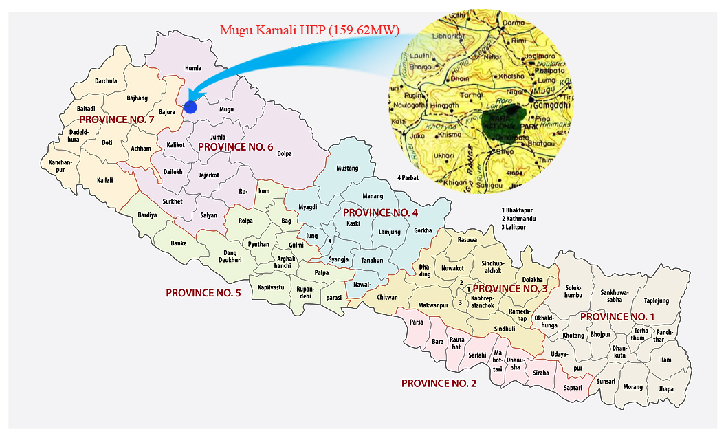
BPC received the survey license of Mugu Karnali Hydropower Project (MKHPP) in 2074, with an estimated project capacity of 160 MW. The project license boundary lies in Soru Rural Municipality of Mugu District and Adanchuli Rural Municipality of Humla District of Karnali Pradesh. The nearest road-head to this project is a gravel road from Gamgadhi, Mugu, Nepal. The project area is currently accessible via an under-construction road. As of now, a motorable road is being constructed along the left bank of Mugu Karnali River, which is used as the access road for the project. Gamgadhi, the Mugu district headquarters, which is 316 km from Birendranagar, Surkhet, can be accessed by motorable gravel road.
The feasibility study for the project has been completed, and the EIA study is ongoing. The topographic survey, geotechnical investigations, and geological mapping have been completed. Sediment sample collection and analysis is ongoing. The feasibility study has fixed the project capacity at 174 MW.
Project license boundary overlaps with that of Mugu Karnali Storage Hydropower Project, owned by Vidhyut Utpadan Company Limited (VUCL). The survey license was issued to VUCL with an overlapping the area with a view to carry out feasibility study by BPC and VUCL. An application for the amendment of project capacity in the survey license has been submitted to MOEWRI, but approval is pending due to the license overlapping issue. The Generation License has been applied. The ToR/Scoping for EIA could not be carried out without project capacity approval. The salient features given below are based on the findings of the feasibility study.
Project Fact Sheet
|
Project Location |
Soru Rural Municipality of Mugu District and Adanchuli Rural Municipality of Humla District, Karnali Pradesh, Nepal |
|
Project Type |
Peaking Run-of-the-River |
|
Installed Capacity |
174 MW |
|
Annual Energy Generation |
994 GWh |
|
Design Discharge |
81.25 m3 /s at 40% PoE |
|
Gross Head |
263 m |
|
Head Race Tunnel |
14 km |
|
Power Evacuation |
Proposed Mugu-Karnali Hub |